Tompkins Bend
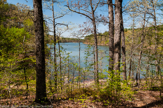
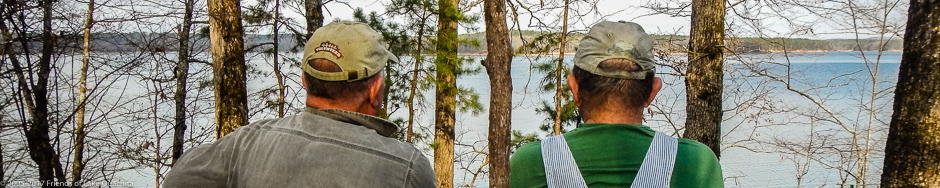
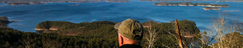
A beautiful view of Lake Ouachita along the Tompkins Bend to Joplin Trail Segment
Description:
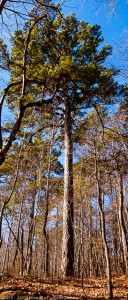
Record Short-Leaf Pine – one of the “Twin Towers” along the Tompkins Bend to Joplin Trail Segment.
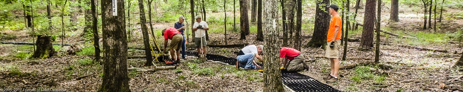
This segment of the Lake Ouachita Vista Trail (LOViT) is approximately five miles of winding trail from the Tompkins Bend Trailhead parking area to the Joplin Trailhead parking area off Mountain Harbor Rd. While designed for all age groups, expect more elevation and hills than on the trail from Denby Bay to Tompkins Bend. The Trail crosses many spring-fed streams, winds past a number of old quartz crystal mines, and passes many unusual rock formations.
An amazing feature is a stand of very large (estimated 300-400 years old) short-leaf pine trees towering over 125 feet above the trail.
The “Cattle Dip” along the Tompkins Bend to Joplin trail segment
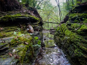
A 1.5 mile loop out to Eagle Vista provides a spectacular view of the lake that, during the winter months, is home to several bald eagles. Look for the old natural cattle dip on Spring Creek, and note the spring that feeds the creek at Spring Creek Bridge crossing. Here the trail wanders alongside the cool creek, flowing over moss-covered stones through a narrow valley lined with hundreds of wood ferns.
Surrounding Area:
The trailhead is near entrance to the Tompkins Bend Campground. Fishing, boating, etc. at Shangri-La Resort.
Length:
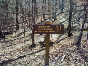
Sign at the Tompkins Bend/Joplin/Homestead junction.
5 miles to the Joplin Trailhead from the Tompkins Bend trailhead. Go east across Shangri-La Rd. from the trailhead. You may also go south about 1.75 miles to the Homestead Trailhead, or, you may bypass the Homestead trailhead and travel 3 more miles to the Denby Bay Trailhead.
Note on the map that there is a loop possible between the Homestead and Tompkins Bend trailheads: from the Tompkins Bend trailhead, follow the Tompkins Bend to Joplin trail segment for about .75 miles to a junction. From the junction you may bear right (west) and follow a .25 miles loop back across Shangri-La Rd. to the P2 Homestead Trailhead.
Difficulty:
Moderate with bridged creek crossings. Note: Bridges may be covered with debris which can become quite slick in wet weather. Cross them cautiously.
Amenities:
Water and bathrooms are available in the Tompkins Bend campground, about one block from the trailhead. Shangri-La Resort and restaurant is just a bit further down Shangri-La road.
Directions to Trailhead:
Go east from Mount Ida about 9 miles, or west from Hot Springs about 25 miles, on U.S. Highway 270 to Shangri-La Rd. You can’t miss the Shangri-La Resort sign on 270. Turn north off Highway 270 onto Shangri-La Road and continue to the Tompkins Bend campground entrance. Trailhead parking is on the left.
Accommodations:
Tompkins Bend Campground near the trailhead, and Shangri-La Resort a bit further down Shangri-La Rd.