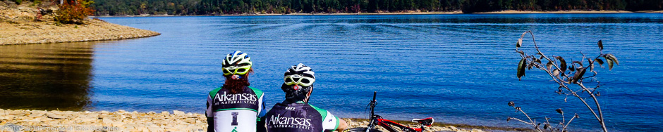
Homestead

Here’s the sign at the Homestead Trailhead at the back of the parking lot just off of Shangri-La Road.
Description:
Named for an old homestead nearby, the Homestead trailhead is a takeout point with a parking area. It is located between the Denby Bay and Tompkins Bend trailheads. Reference the map on our Big Picture page for details.
From the Homestead trailhead starting point, you have three options:
- You may enter the main Denby Bay to Tompkins Bend trail segment from the west side of the Homestead parking lot. Turn left (south) and continue for 2.9 miles to the Denby Bay trailhead, or,
- You may turn right onto the Denby Bay to Tompkins bend trail segment and travel about 2 miles to the Tompkins Bend trailhead, or,
- You may go east across Shangri-La Rd. (see the highway crosswalk signs) and hike/ride about .3 miles to merge with the Tompkins Bend Trail as it heads toward the Joplin trailhead.
Just across Shangri-La Road from the Homestead parking lot, heading east for the Joplin Trailhead, keep your eyes right about 20 steps into the trail and see the remains of the Old Homestead for which the trailhead is named. A 10 x 20 foot cedar split rail fence surrounds the old root cellar. To the right of the root cellar and adjacent to Shangri-La Road is the remains of the homestead’s hand dug well. The homestead dates back to the very late 1800’s.
Surrounding Area:
This trailhead is just off the Shangri-La road, about a mile before arriving at the resort.
Length:
2.9 miles to the Denby Bay trailhead; 2 miles to the Tompkins Bend trailhead.
Difficulty:
Easy, but rocky on the 2 mile section to Tompkins Bend.
Amenities:
There are no amenities at this trailhead.
Directions to Trailhead:
Go east from Mount Ida about 9 miles, or west from Hot Springs about 25 miles, on U.S. Highway 270 to Shangri-La Rd. You can’t miss the Shangri-La Resort sign on 270. Turn north off Highway 270 onto Shangri La Rd. Continue for about 1.5 miles and look for trail signs on the left.
Trailhead parking is on the left side of the road.
Accommodations:
Continue on Shangri-La Road past the Homestead trailhead to Tompkins Bend Campground and Shangri-La Resort and restaurant.